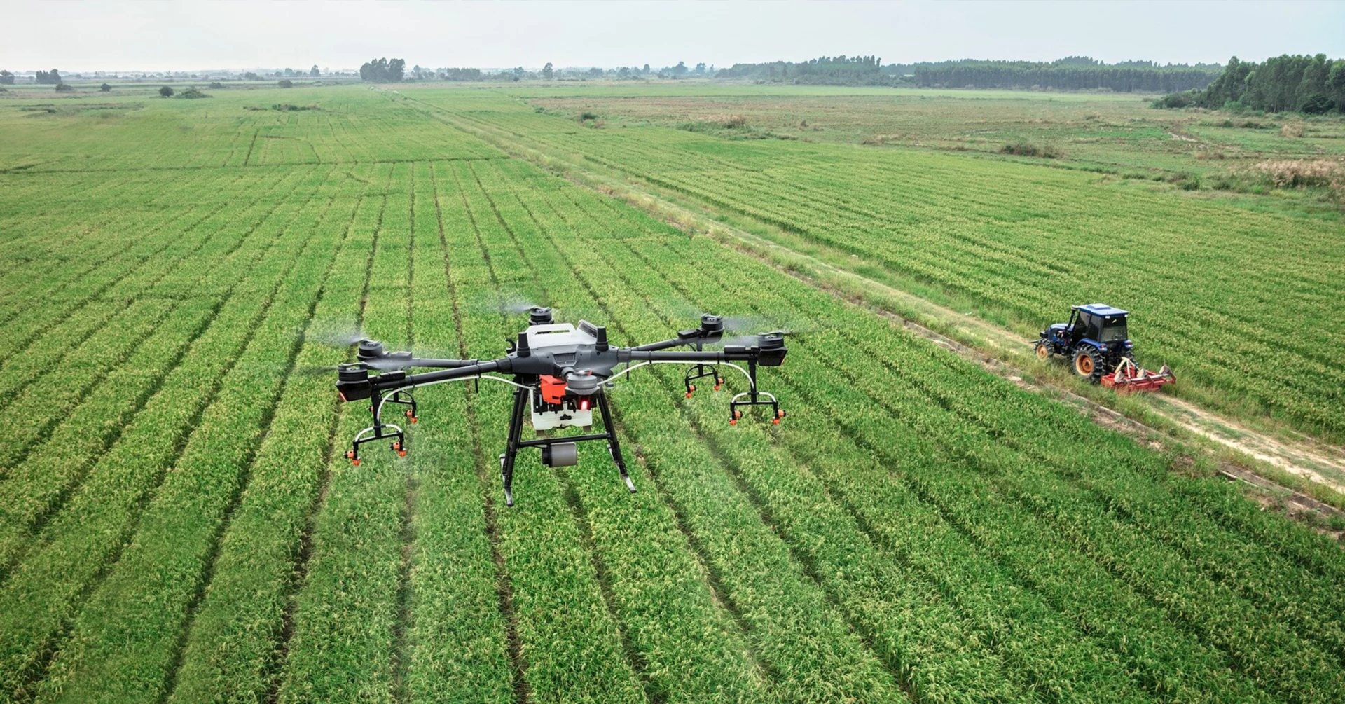
The lecturers and researchers of the University of Miskolc have solved several environmental modeling tasks in the field of environmental assessment, impact assessment and environmental informatics using the data of GIS and remote sensing devices. The university equipment almost completely covers the range of tools and software commonly used in geophysical, pedological and hydrological studies, as well as drone technology and IT tools for retrieving and processing data from sensors that can be used for almost all surface and near-surface thematic mapping tasks. , and to interpret, analyze, and develop, run, and evaluate models for solving practical tasks for the profession.
Webpage of FIEK Research Institute
Contact us